
Snapshot
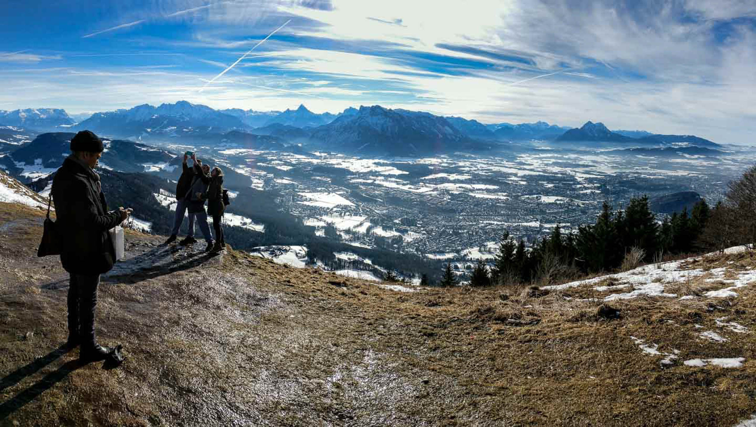
Every viewpoint in Salzburg looks across the city. The Gaisbergspitze looks down on it from a distance, which changes everything. At 1,287 m, it is high enough to see the entire basin at once: the old city, the fortress, the Salzach, the new districts, and the plain stretching north into Bavaria, all visible in a single sweep without moving your feet.
The Story
The distinction between viewpoints inside the city and the one on the Gaisbergspitze is not just a matter of height. The Mönchsberg and Kapuzinerberg are embedded in the urban fabric; from those points the city is close and immediate. The Gaisbergspitze is 1,287 m above sea level and positioned to the east, looking back across the basin rather than across individual streets and rooftops. The effect is orientation rather than immersion: you understand the shape of the city, the river’s course, and the geography that constrained it.
19th-century Romantic painters understood this. Ferdinand Olivier came up twice, in 1815 and 1817, to sketch the view that later defined the popular image of Salzburg in German art circles. The hill had been monastic land before that, its high pastures belonging to St. Peter and Nonnberg, grazed by the goats that gave the mountain its name. The access railway came in 1887, replaced by the road in 1929. That road is now the Gaisbergrennen hillclimb course.
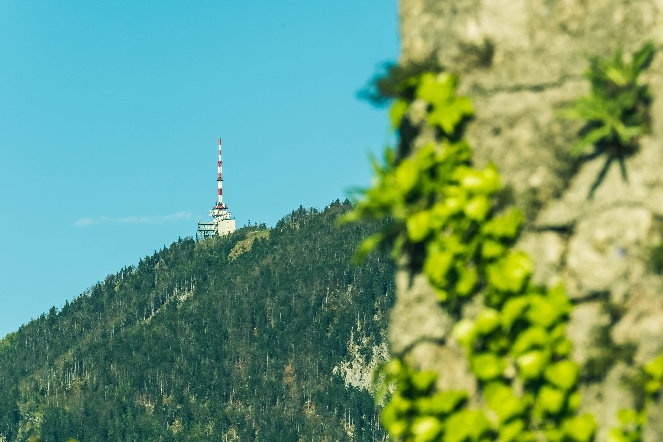
The 1956 transmitter mast at the summit is the tallest structure on the ridge, visible from much of the city below. It is struck by lightning around 50 times a year; a research station has been monitoring strikes since 1998. On clear afternoons, paragliders launch from the summit, drifting out over the basin below. The 1 km circular trail takes 15 minutes, requires no elevation gain from the parking area, and is the quickest way to cover the full panorama.
Visiting
By car via the Gaisbergstrasse, approximately 20 minutes from the city centre. The drive follows the Gaisbergrennen hillclimb route. Bus line 151 from Mirabellplatz reaches the summit parking area in about 28-30 minutes; free with the Salzburg Card. On foot from Aigen or Gnigl, allow 2-3 hours one way. Summit café and restaurant open seasonally (typically May to October). The 1 km circular trail (Route 13c) around the summit takes 15 minutes and is pushchair-accessible. No cable car; stays quieter than the Untersberg on busy days.