Snapshot
The Salzach divides Salzburg in two and explains why the city is where it is. The name means “salt river,” and the word is not decorative.
The Story
The Salzach rises in the high Alps and arrives at Salzburg carrying the story of the region’s wealth in its name. “Ach” is Old High German for a fast mountain stream; “Salz” needs no translation. For centuries flat-bottomed barges loaded at Hallein with salt from the Bad Durrnberg mines and floated downstream to trading points along the Inn and the Danube. Archbishop Wolf Dietrich von Raitenau, who rebuilt Salzburg in the Baroque style at the end of the 16th century, financed much of that transformation from salt revenues that depended entirely on the Salzach as their delivery route.
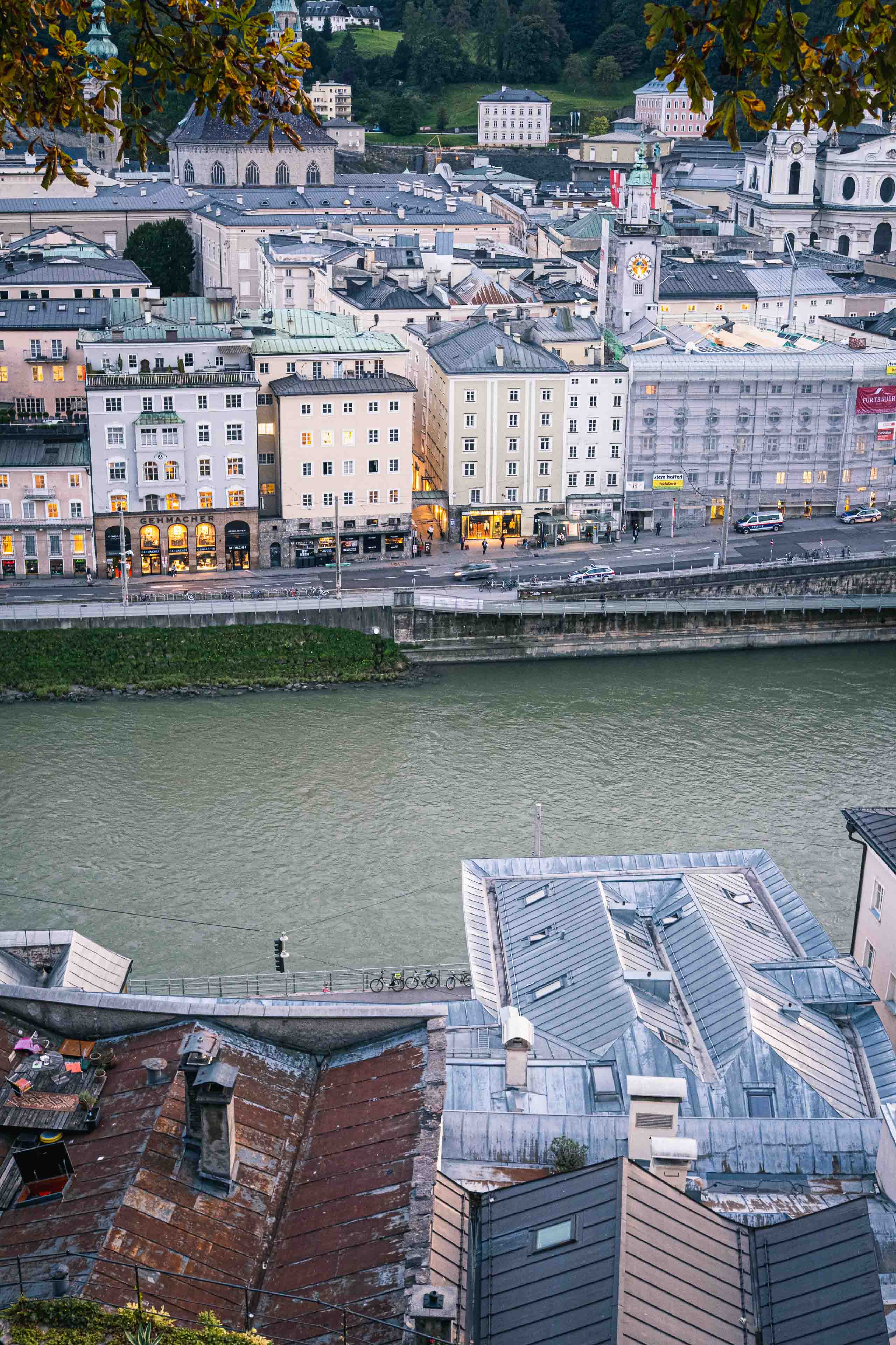
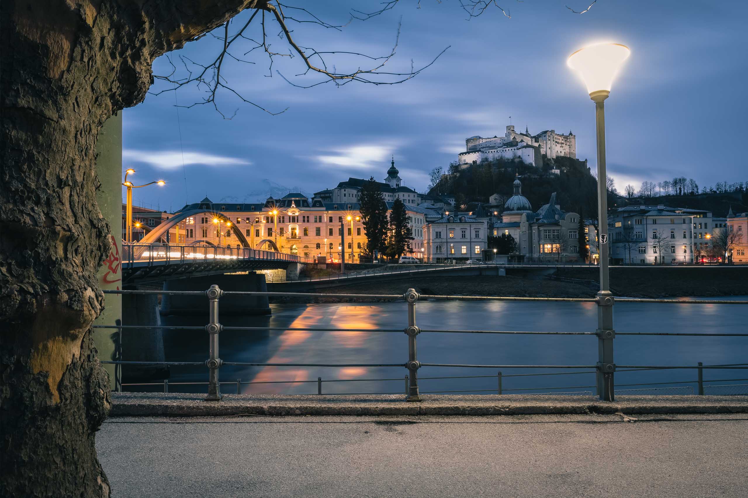
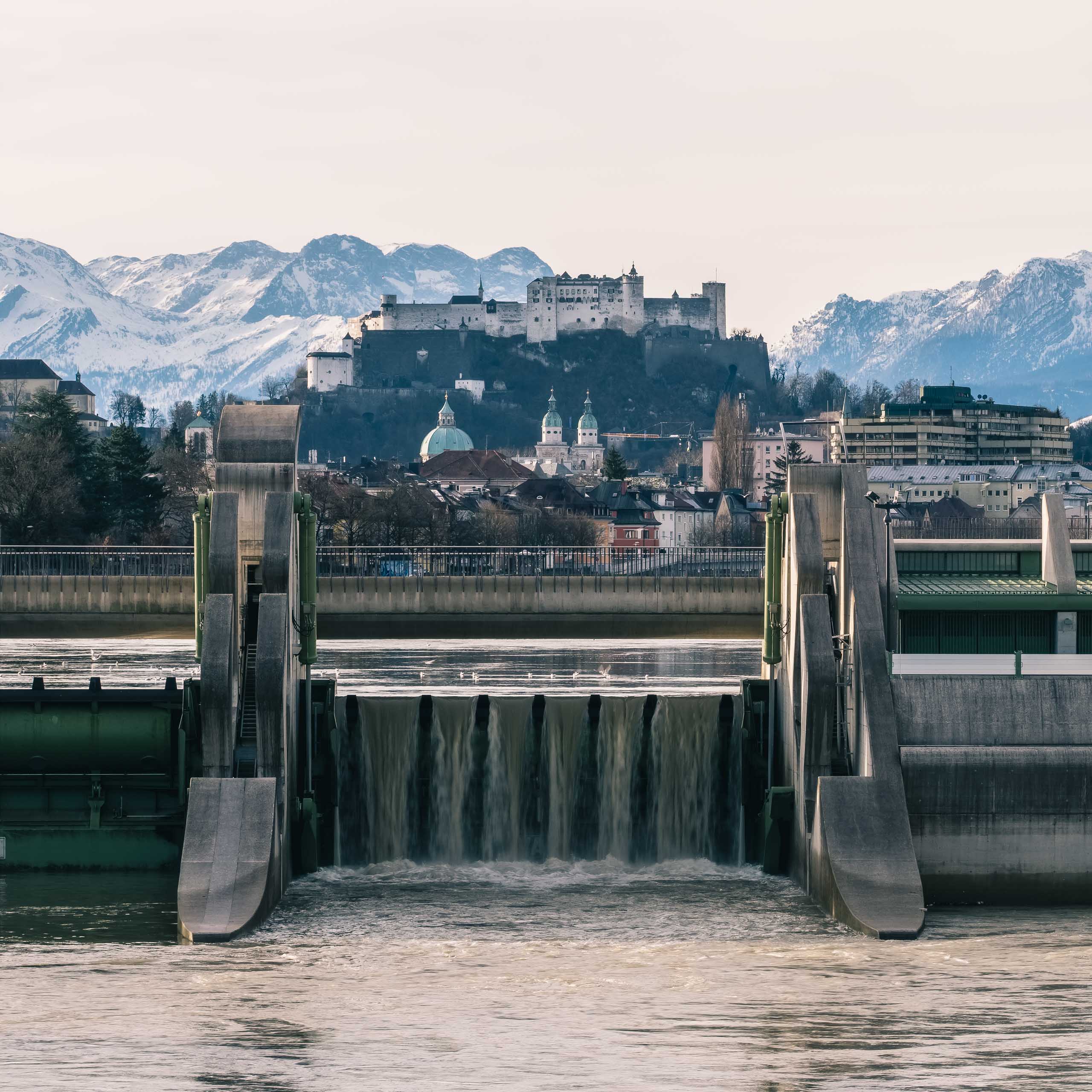
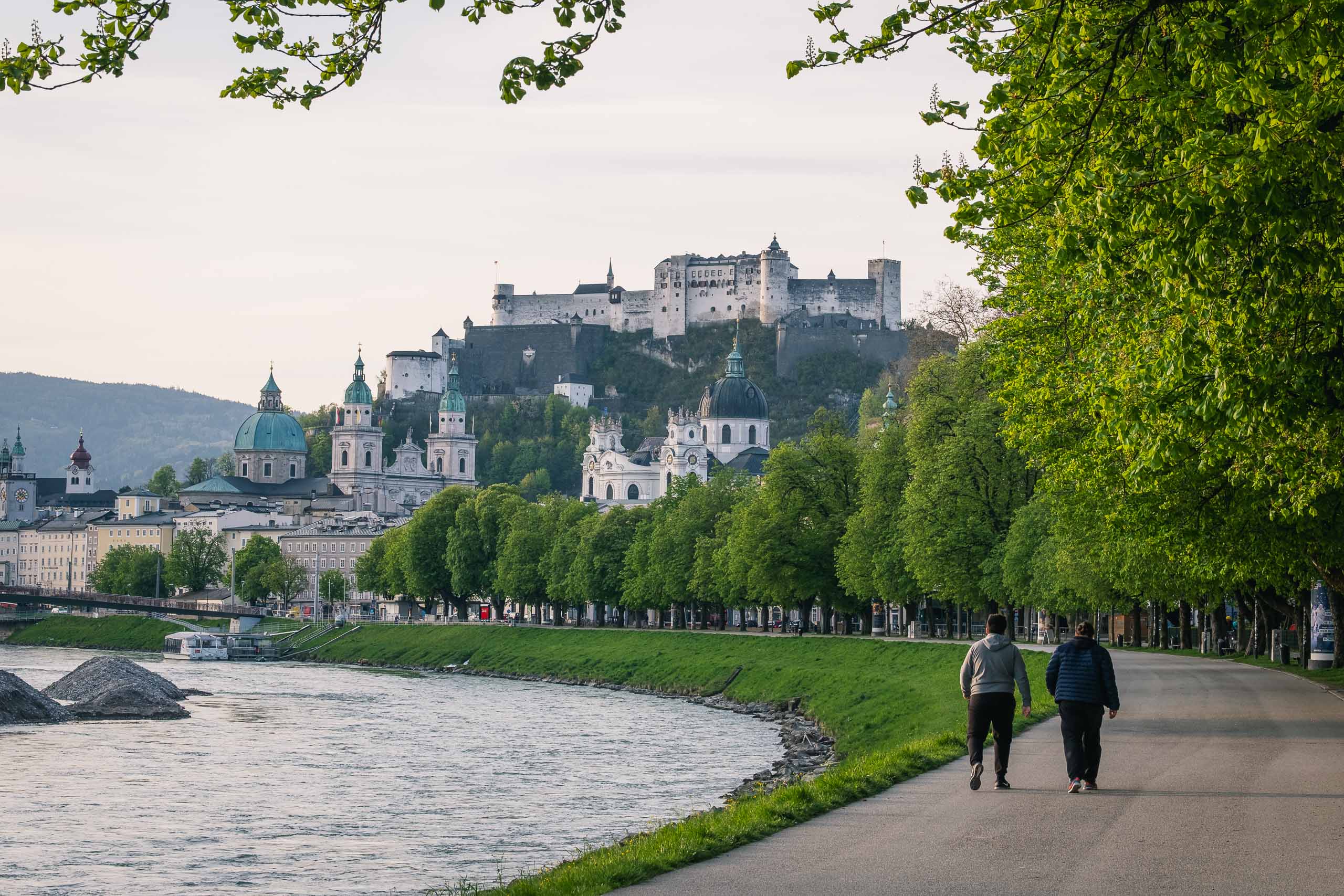
The city’s shape follows the river. The Hohensalzburg Fortress sits on a rock that drops almost directly to the left bank. The Altstadt (old city) occupies the narrow strip between that rock and the water. The Neustadt, the right-bank quarter built from the early 17th century onward, faces it across a river that was once as much a working highway as a backdrop. The Makartsteg and Mozartsteg footbridges are the informal pedestrian crossings today. The Staatsbrücke carries road traffic.
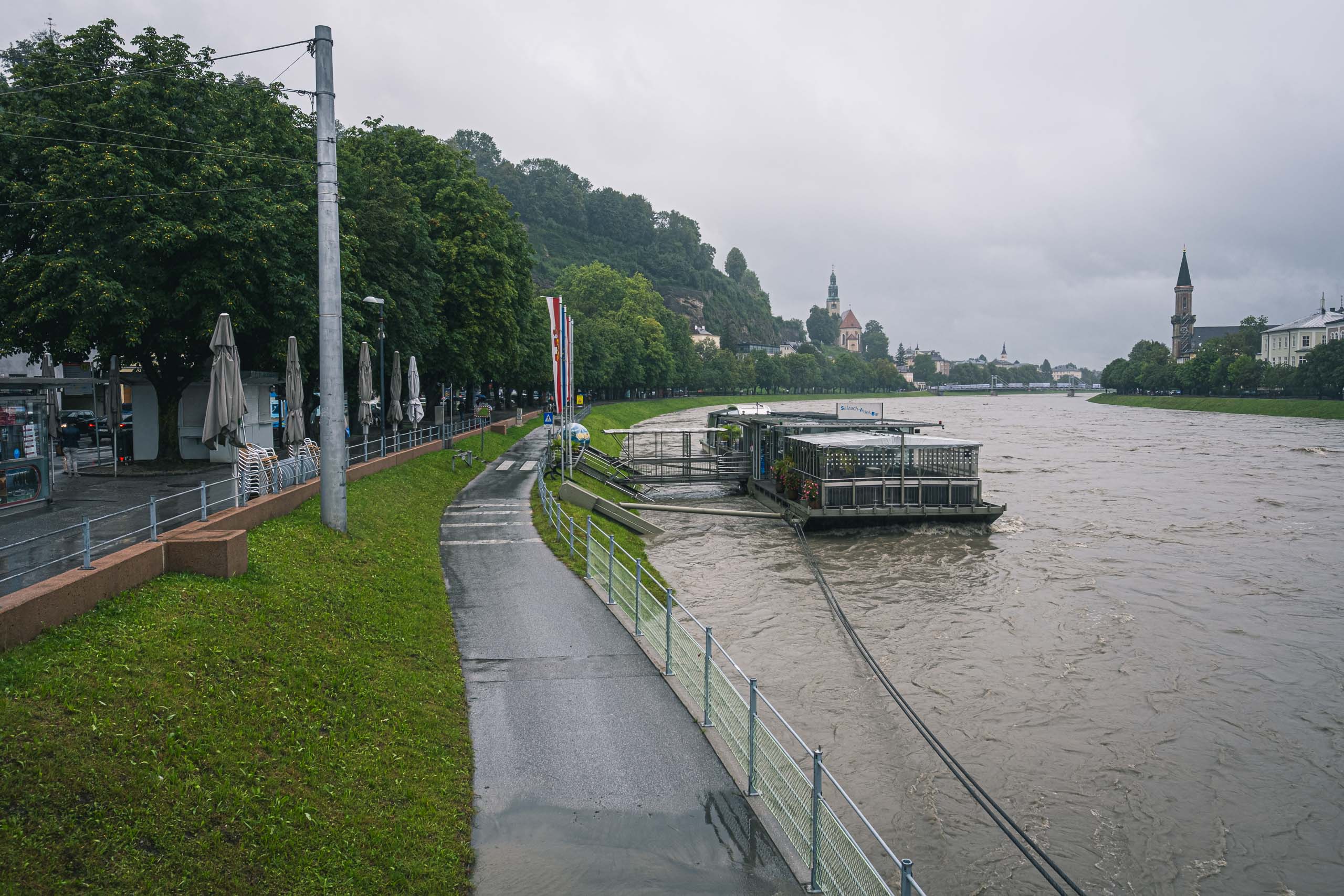
The Salzach floods. The 1572 event lifted the river five metres above normal, leaving marks on stone walls that survived for centuries. Major floods in 1899, 1954, and 2002 reshaped the city’s flood defences. This is a working Alpine river, not a decorative canal, and the city’s Baroque rebuilding under Wolf Dietrich was shaped in part by the need to set back from the water.
Visiting
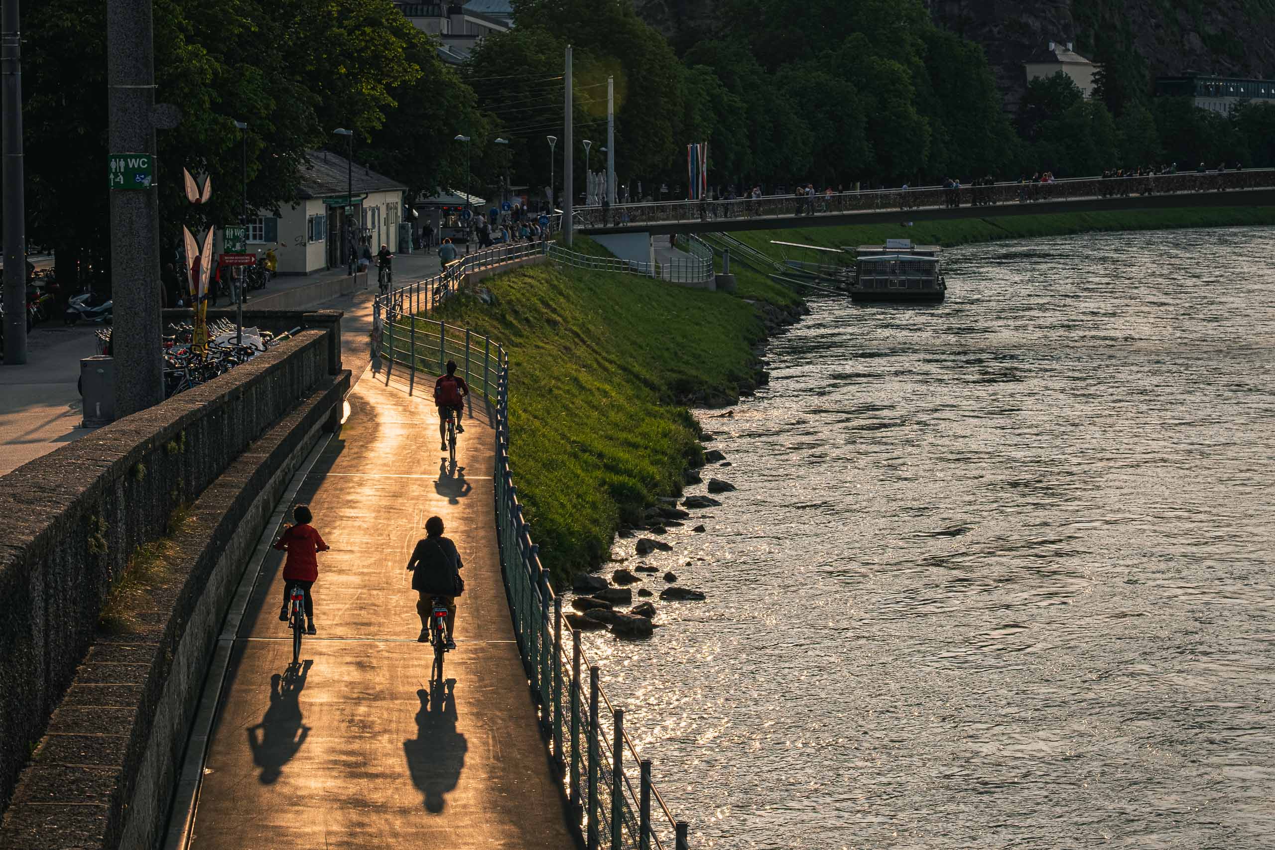
Free, always accessible. Both banks have walkable embankments; the stretch between the Makartsteg and Mozartsteg on either side gives the clearest views of the Altstadt skyline and the fortress above. The left-bank promenade near Rudolfskai and the right-bank path near Steingasse are the best vantage points. Combine with a Salzach River Cruise for the view from the water.
A flat 15 km cycling route south from Salzburg along the Salzach to Hallein, Gerhard's hometown. The path follows the river embankment through open countryside with the Untersberg massif constant to the west. A natural rest stop at Rif, where the Königsseeache joins the Salzach.