
District / Austria
Pinzgau
Also known as Pinzgau District
6 places14 destinations within
Snapshot
Pinzgau is the alpine district that defines Salzburg State’s western horizon. A 2,640 km2 territory running the length of the upper Salzach valley, it holds the highest waterfalls in Austria, the country’s most famous mountain road, and a year-round glacier above Kaprun. Most of it sits within or immediately below the Hohe Tauern National Park.
The Story
The westernmost district of Salzburg State stretches from Zell am See at its eastern end to the village of Krimml at its western tip. To the south, the Hohe Tauern range forms a wall of peaks topped by the Großglockner (3,798 m), Austria’s highest summit. Twenty-eight municipalities, approximately 88,000 residents, and a population density of just 34 people per km2 give Pinzgau its characteristic quality: large landscapes, small settlements.
The district has been shaped by centuries under the Prince-Archbishopric of Salzburg. When Archbishop Eberhard II secured Pinzgau in 1328, the Salzach became both a trade highway and a toll road, with the archbishop’s treasury taking a cut of the salt and goods moving through. The 1731 Edict of Expulsion, which forced more than 21,000 Protestants from the broader Salzburg region, left permanent marks on valley demographics; the surnames of Catholic settlers brought in to replace them still appear in village directories today.
The 53-kilometre Pinzgauer Lokalbahn, opened on 2 January 1898 after Emperor Franz Josef’s approval, remains one of the district’s quiet pleasures. The narrow-gauge line hugs the Salzach through 40 stops, running daily passenger service and offering nostalgic steam rides on Thursday evenings from May through September. It was rebuilt after floods destroyed the Mittersill-Krimml section in 2005, a reminder of how seriously the valley depends on this connection.
Tourism centres on three major attractions: the Krimmler Wasserfalle at the western terminus, the Kitzsteinhorn glacier above Kaprun, and the Grossglockner Hochalpenstrasse cutting south through the mountains. All three operate on different seasonal rhythms; the Kitzsteinhorn glacier ski area extends into late spring, the waterfall peaks in early summer with snowmelt, and the Grossglockner road is open from approximately May to November.
Planning
From Salzburg, Pinzgau is roughly two hours by road or rail to Zell am See. The Pinzgauer Lokalbahn extends the connection westward to Krimml without a car. The Grossglockner Hochalpenstrasse requires a toll and is best driven early morning to avoid coach traffic; the Franz-Josefs-Hohe viewpoint is the primary stop. Zell am See is the natural base for the district: lake swimming, cable-car access, and proximity to both Kaprun and the railway. Combine with Krimml as a half-day extension. The Ski Amadé network and the Zell am See-Kaprun ski area operate in winter; summer hiking in the national park opens from late June. The Nationalpark SommerCard covers many transport and entry costs for overnight guests.
Go deeper
Destinations within Pinzgau
One level down the canonical map. Every card is a direct child of this destination.
village village village village village village village - village
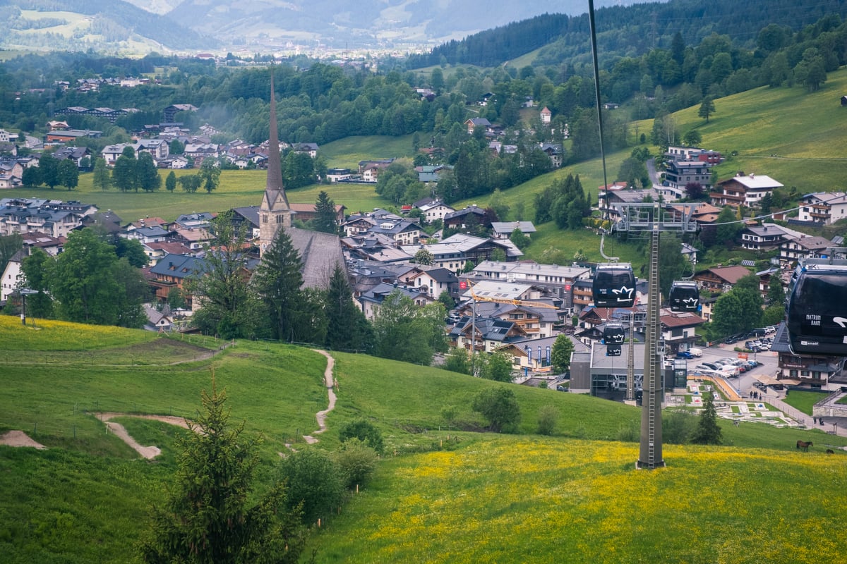
town village village village town town
Eat and drink
Dishes born in Pinzgau
Dishes whose authored origin is here. Born here, not just served here.
Pinzgauer Kasnockn
Protected Pinzgau variant of Kasnocken. Made with Pinzgauer Bierkäse and Almkäse: more assertive, tangy. Served in the pan with green salad. Found across the Pinzgau from Zell am See to Krimml.
Mapped places
Places in Pinzgau
Every card is assigned directly to this destination or one of its canonical child destinations.
Grossglockner Hochalpenstraße
Built 1930-1935
Built between 1930 and 1935 during the economic crisis of the First Austrian Republic, the Grossglockner Hochalpenstrasse was both an engineering project and a political statement.
Kaprun High Dams
Built 1938-1955
Note: A richer version of this entity exists as Kaprun High Mountain Reservoirs (slug: kaprun-stauseen) covering the same Mooserboden and Wasserfallboden reservoirs above Kaprun. This entry is a duplicate created from a different source pass.
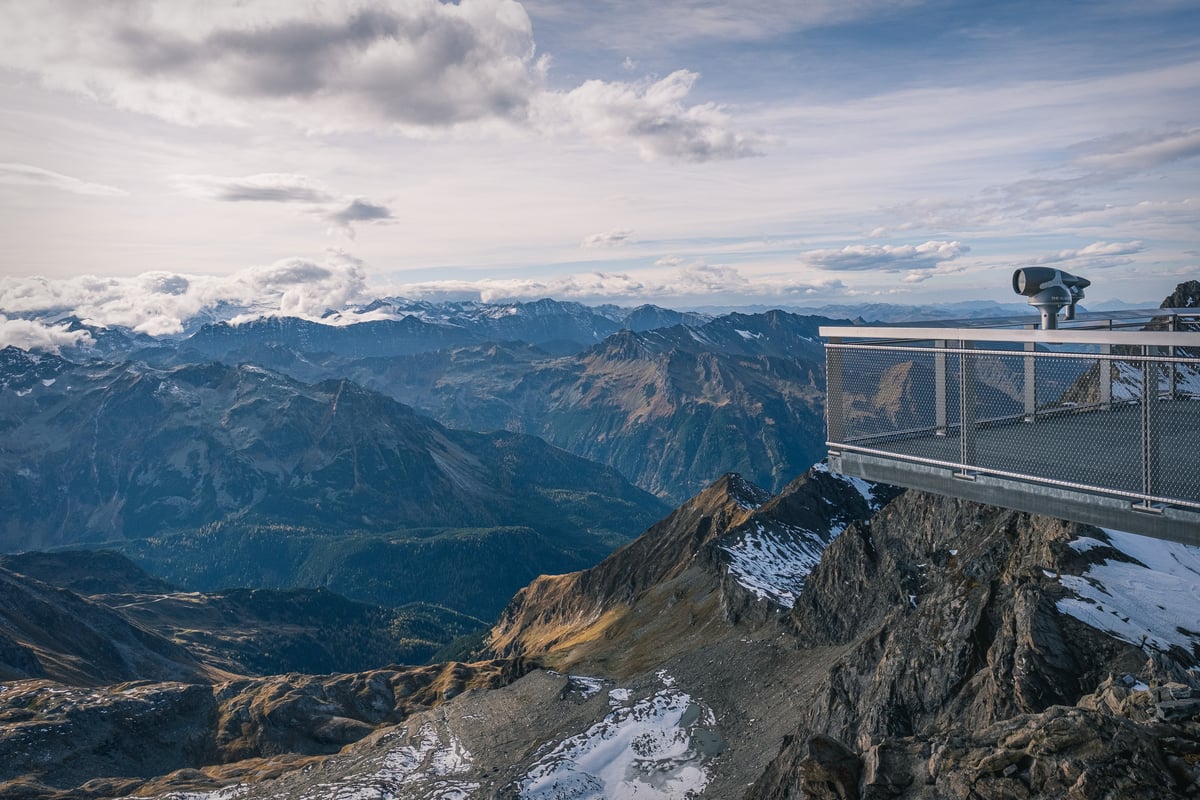
Kitzsteinhorn
A glacier ski area with year-round snow, reached by a three-stage cable car from Kaprun. The Top of Salzburg platform at 3,029 meters is the highest accessible point in the Salzburg region. The National Park Gallery inside the mountain and the Ice Arena are additional attractions. Snow-sure skiing from October through June.
Krimmler Wasserfälle
The highest waterfalls in Austria, 380 metres in three tiers. In the Hohe Tauern National Park near Krimml. One of the great natural walks in the Eastern Alps. A long day trip from Salzburg but one of the most memorable.
Steinernes Meer
The Steinernes Meer (Stone Sea) is one of the most extreme high-altitude plateaus in the Eastern Alps, a 40-square-kilometer limestone karst plain sitting above 2,000 meters on the border between Salzburg and Bavaria. There are no trails here in the usual sense.
Wallfahrtskirche Maria Kirchental
Built 1694-1701
A baroque pilgrimage church at the head of the Kirchental valley near Lofer, designed by Johann Bernhard Fischer von Erlach and set against the dramatic Loferer Steinberge mountains. One of the most beautifully situated churches in Austria.