
Kapuzinerberg Circuit
Self-guided circuit of Salzburg's right-bank hill. Linzer Gasse trailhead through woodland to viewpoints, monastery, and Franziskischlossl beer garden. 2 hours with stops. Quieter and more local than the Mönchsberg.
Viewpoint
The true summit of Kapuzinerberg at 636 metres. A 360-degree panorama over the city and its surrounding landscape. Free, always open, and reached on foot from Linzer Gasse in around 30-40 minutes.
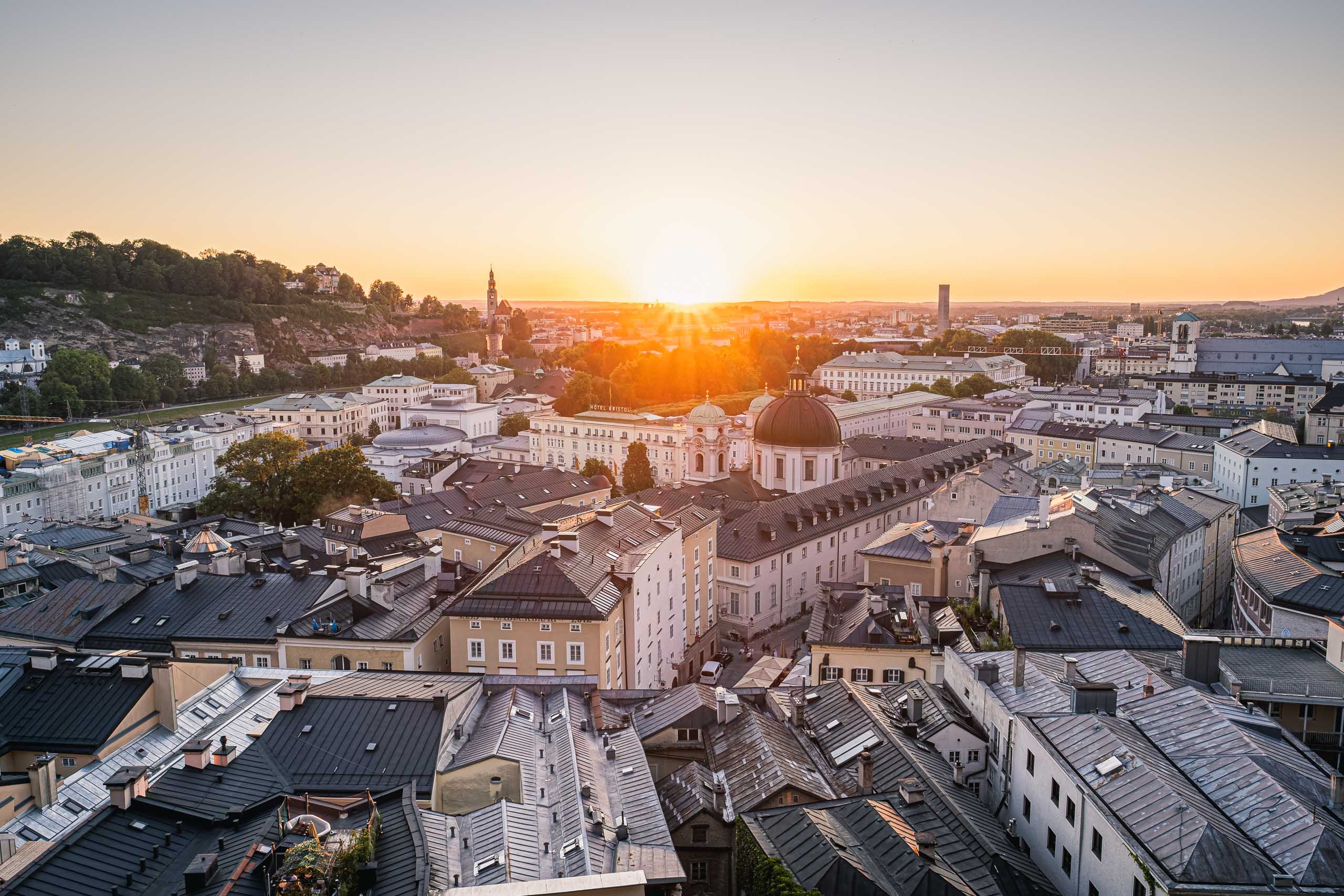
Every other viewpoint in Salzburg shows you part of the city. The summit of the Kapuzinerberg shows you where the city sits. At 636 metres, high enough and central enough to take in the full context, the view turns through the compass: south to the Untersberg and the alpine chain beyond it, north across the wide Flachgau plain, west toward the Mönchsberg and the clustered domes of the Altstadt, east toward the Gaisberg and the Salzburger Land.
No other point in the city gives you this simultaneously. The Monchsberg Aussichtsterrasse is closer and easier but looks in one direction. The Kapuzinerberg summit requires the climb, and it gives back what the climb costs. There are no facilities at the top, no café, no sign. Just a cleared viewpoint and the landscape arranged around it.
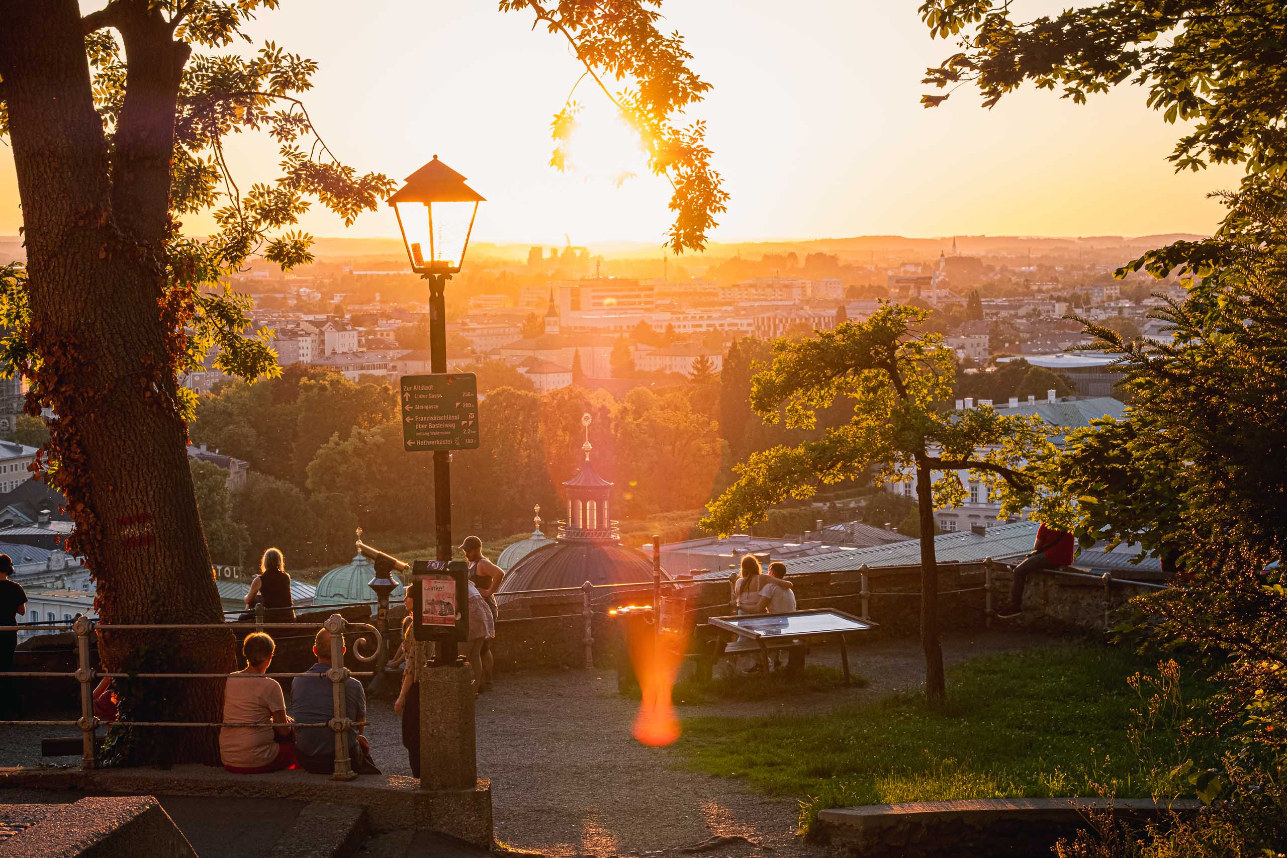
The approach follows the ridge path from the Capuchin Monastery, passing through beech forest that keeps the walk cool in summer. The Franziskischlossl and the Fortress View on Kapuzinerberg offer natural stopping points along the way.
Do it here
These experiences include this place in their authored route.
Self-guided circuit of Salzburg's right-bank hill. Linzer Gasse trailhead through woodland to viewpoints, monastery, and Franziskischlossl beer garden. 2 hours with stops. Quieter and more local than the Mönchsberg.